Costa Guide
    Back to Insider

    Nature

    Sierra hikes, river pools, wildlife encounters and the inland landscapes most visitors never see.

    Hiking Sierra de las Nieves: 4 Routes Through Spain's Newest National Park
    Nature
    Local tip
    Sierra de las Nieves
    6 Aug

    Hiking Sierra de las Nieves: 4 Routes Through Spain's Newest National Park

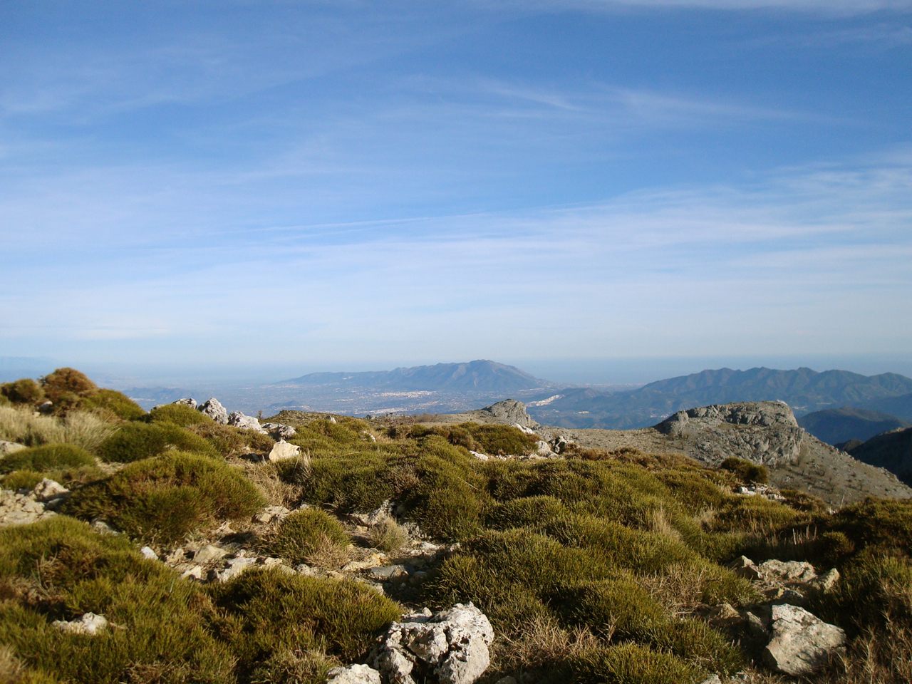
    Since June 25 2021 Sierra de las Nieves is officially Spain's 16th national park — UNESCO biosphere reserve since 1995, protected for the pinsapo (Spanish fir), an endemic conifer that has only grown here since the last ice age. For hikers from the Costa del Sol: four routes for different levels, perfectly organised from Marbella. Route 1: Refugio de Juanar (1100m) — Beginner route, half day. The easiest entry from Marbella: drive to Ojén (20 min from Marbella centre), then 15 min up the mountain to Refugio de Juanar. From the refuge car park you walk a 6 km circular through pinsapo forest. Elevation gain 200m, easy on 80% of the path. We do this route every November with our kids — perfect for families with children aged 8+. Length: 6 km loop, 2 hours Elevation: 200m Level: beginner, family-friendly Food: Refugio de Juanar restaurant — menu del día €18 with local wine Tip: depart Marbella before 09:00 to avoid arrival heat Route 2: Pico del Torrecilla (1919m) — The king route. For experienced hikers: the main route to Pico del Torrecilla — the highest peak in Sierra de las Nieves (1919m). Start at Refugio del Tajo de los Pingajos (car-accessible via Yunquera), 18 km out-and-back, 700m elevation. Plan 6-8 hours including lunch on top. We did this route in October 2023 with a friend — what stood out: the silence at 1700m, and the 360-degree view from the summit across the whole Costa del Sol plus the Strait of Gibraltar. Length: 18 km out-and-back, 6-8 hours Elevation: 700m Level: experienced hiker (15+ km/week training) Required: sturdy shoes, 2L water pp, sun protection, map Tip: start before 07:30 to be on top before 14:00 — avoid summer heat Route 3: Cañón de las Buitreras — Forest plus water route. The Cañón de las Buitreras route (departure from Yunquera) is for those who want water in nature — a deep wooded gorge with river, griffon vulture nests above the cliffs. 12 km out-and-back, 350m elevation. Best months: April-June and October (in July/August dry and hot). Seeing the vulture breeding in May is a highlight — we went in May 2024 with binoculars and spotted 12 griffon vultures circling at once. Length: 12 km out-and-back, 4-5 hours Elevation: 350m Level: intermediate Highlight: vulture spotting May/June Tip: bring binoculars, some paths slippery after rain Route 4: Pinsapar de Tolox — The pinsapo cathedral. From the village of Tolox (20 min from Yunquera) a 8 km circular runs through the 'pinsapar' — the densest pinsapo forest in the park. Some pinsapos here are 400+ years old, 30 metres tall. No serious elevation (100m) but a lunch stop at the Las Cabras spring. We always do this route in December when the others are often wet — the pinsapar stays dry thanks to canopy cover. Length: 8 km, 3-4 hours Elevation: 100m Level: beginner-intermediate Best months: September, October, December (avoid after rain) Tolox special: balneario with thermal springs — €8 for 2 hours (after the hike) Practical: planning + transport from the coast. From Marbella: A-355 + MA-485 to Ojén (20 min), or A-7 + A-366 to Yunquera/Tolox (60-75 min) From Málaga: A-357 + A-366 to Yunquera (50 min) Best months overall: April + May + September + October (summer = 35°C+, winter possible snow above 1500m) Permits/entry: none, free for the whole national park Lunch en route: Refugio Juanar (Ojén route), Restaurante Cuatro Estaciones Yunquera (Buitreras), Bar Las Tres Acequias Tolox (Pinsapar) Tip: book a stay at Refugio Juanar (€95-150/night, 22 rooms) as a 2-day hiking base — book 4 weeks ahead for weekends --- Photos: Juan Pablo Olmo (CC BY 2.0), rjime31 (CC BY-SA 2.0), Antonio from Mijas (CC BY-SA 2.0), via Wikimedia Commons; Google Maps contributors.

    FAQ

    Frequently asked questions about nature

    Where can I hike in the mountains behind Marbella?+

    Sierra Blanca, the range directly behind Marbella. Short route: Cruz de Juanar from the Refugio de Juanar car park, 8 km round trip, 3-4 hours. For sweeping coast views: La Concha summit — 6 hours, experienced hikers only. Start early, bring water, avoid July and August.

    Where can I see flamingoes on the Costa del Sol?+

    Laguna de Fuente de Piedra, about an hour inland towards Antequera. It's Europe's largest flamingo breeding ground — between March and July you'll often see 20,000+ birds. Free visitor centre, short flat walking route around the lake. Best time: early morning or late afternoon for photos.

    When's the best season for nature on the Costa del Sol?+

    April and May: everything blooms, 18-25°C, mountain weather stable. October and November: second bloom, no tourists, water still 19-21°C. Avoid July and August for hiking — above 35°C with no shade in the Sierra. December to February is quiet but daylight is short.