

Everything the Costa del Sol has to offer,in one place
Your local concierge for experiences, services and bookings
0+
Local expertise
We know the best spots
AI
AI-Powered
Personalized recommendations just for you
6-in-1
All-in-one
From transfers to restaurants in one app
Everything for your trip
Taxi, eSIM, car rental and more — all sorted in one app

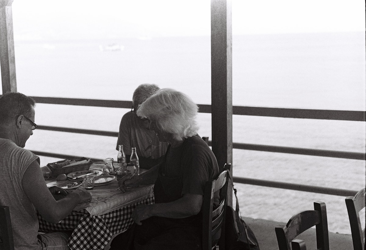

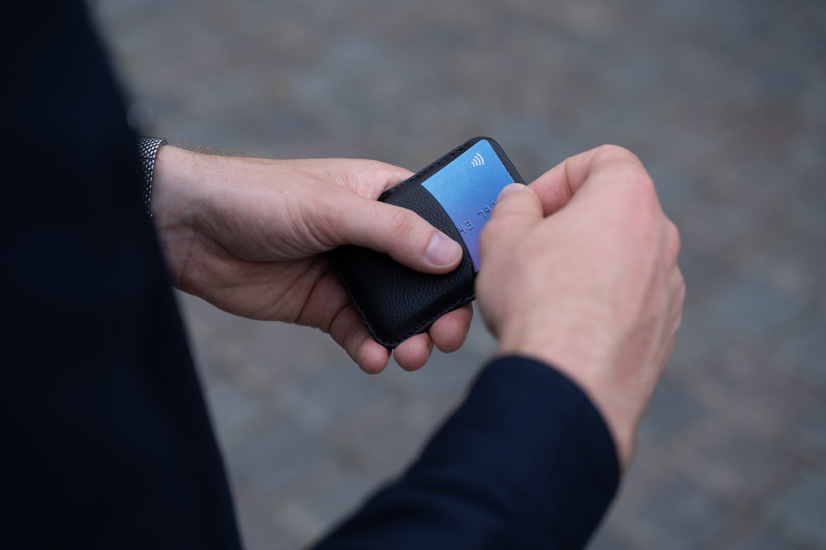





Top experiences in Costa del Sol
Handpicked activities and tours, rated by real travelers
Recommended for you
Live tips nearby
Discover by theme
Inspiration for your moment
Discover by theme
Inspiration for your moment

For couples
Romantic spots

With kids
Family friendly

Relax & unwind
Beach clubs & spa
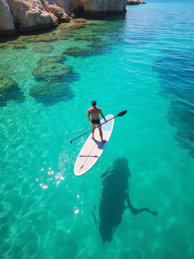
Active & adventure
Outdoor activities

Nightlife
Clubs & bars

Local favorites
Hidden gems
For couples
Romantic spots
With kids
Family friendly
Relax & unwind
Beach clubs & spa
Active & adventure
Outdoor activities
Nightlife
Clubs & bars
Local favorites
Hidden gems
For couples
Romantic spots
With kids
Family friendly
Relax & unwind
Beach clubs & spa
Active & adventure
Outdoor activities
Nightlife
Clubs & bars
Local favorites
Hidden gems
Highlights of today
Stories, tips and local discoveries to enrich your stay
Highlights of today

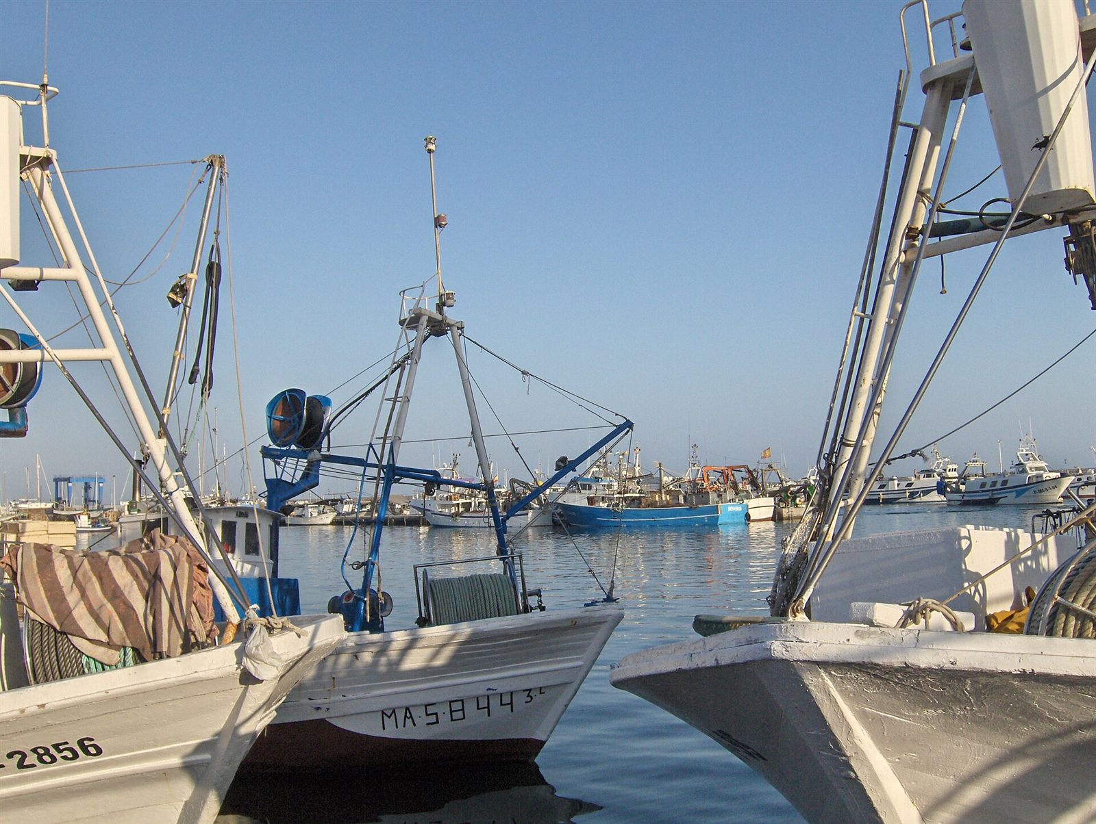



Recommended for you
Live tips nearby
Top experiences in Costa del Sol
Popular today
What travelers are visiting most right now
Popular now
See all →Everything for your trip
Taxi, eSIM, car rental and more — all sorted in one app
Discover by theme
Inspiration for your moment
Discover by theme
Inspiration for your moment
For couples
Romantic spots
With kids
Family friendly
Relax & unwind
Beach clubs & spa
Active & adventure
Outdoor activities
Nightlife
Clubs & bars
Local favorites
Hidden gems
For couples
Romantic spots
With kids
Family friendly
Relax & unwind
Beach clubs & spa
Active & adventure
Outdoor activities
Nightlife
Clubs & bars
Local favorites
Hidden gems
For couples
Romantic spots
With kids
Family friendly
Relax & unwind
Beach clubs & spa
Active & adventure
Outdoor activities
Nightlife
Clubs & bars
Local favorites
Hidden gems
Don't miss a hidden gem
Get the best Costa del Sol tips delivered weekly.
No spam. Unsubscribe anytime.
TRUSTED BY 2,800+ TRAVELERS
Costa Guide made our trip effortless. From airport transfers to hidden beach restaurants — everything was just a tap away.
Sarah & Mark — Amsterdam, NL